Karen and I have long wanted to circumnavigate Staten Island in Puffin. I’ve always been a bit daunted by the task: a long, narrow waterway; large commercial vessels; our small, slow boat. The day after City of Water Day, after checking out the new Willis Avenue Bridge, we headed for the Kill Van Kull, where we were greeted by the Charles D. McAllister, one of many vessels plying the waters between Staten Island and New Jersey that day:

Just past Snug Harbor we noticed this raised section of pipes on the Bayonne side and what appeared to be a marina beyond it:
 Based on our charts and online research, we were not expecting to find a marina on this stretch of the kill, so we went in to investigate. It turned out to be the Atlas Yacht Club. An older gentleman was heading out in a small boat, and he intercepted us and firmly (but kindly) escorted us back to the main channel. All very suspicious, until we read this article from the New York Times. The Atlas Yacht Club was originally founded by squatters, and although today it is legit, its members shy away from publicity. Thomas Murphy has some great b&w photos of the club.
Back on the Staten Island side, we saw this unidentified Reinauer tug in one of Caddell’s dry docks:

There’s a great photo gallery on Caddell’s website.
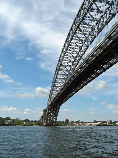
Here’s the first bridge to cross (under). It’s the Bayonne Bridge, which Karen and I walked across in April 2009:
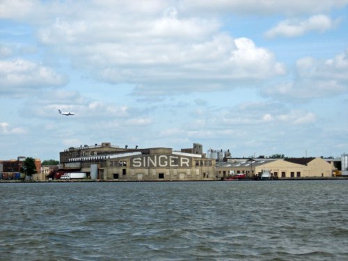
With a lot of traffic in the narrow channel on the south side of Shooter’s Island, and a very large automobile transport ship coming up behind us, we decided to take the channel to the north of Shooter’s Island. This brought us near Elizabeth, New Jersey, and this old building where Singer made sewing machines in the early 1900s:
More traffic. This is Dann Ocean Towing’s Ruby M:

This single bascule movable bridge has a large cement counterbalance (on the left):
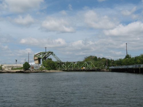
Often the counterbalances are below the bridge, but this bridge is at water level so there’s no room.
Commerce on the kill—containers being loaded on the Duncan Island:

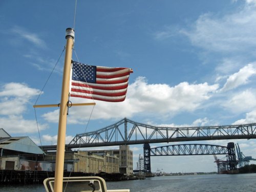
Two more bridges were passed under. The Goethals Bridge is in the foreground, and the Arthur Kill Railroad bridge (a vertical lift bridge) is behind:
This building on the New Jersey side once belonged to the General Aniline Works, a chemical plant that produced sulfuric and acetic acids as well as dyes:
 This website has a lot of history and old photos of the company.
Thankfully this leviathan was moored for loading or unloading. The Atlantic Aquarius is 595 feet long:

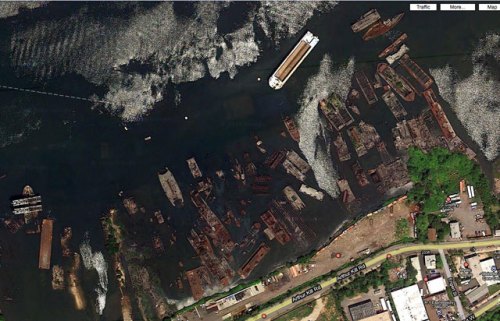
The New York side of the Arthur Kill is where old ships go to die. A graveyard there contains the remains of numerous ships. This is what it looks like in Google Maps:
And this is what it looks like from the water:

The New Jersey side has its share of dead structures and boats:
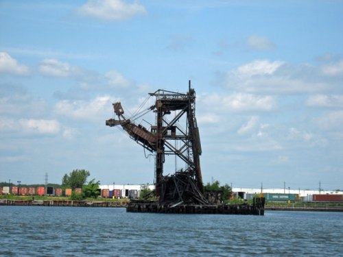

How is it that these boats and pieces of infrastructure that were once vital to industry and commerce are just abandoned and left to decay?
This is the last bridge before exiting the kill and entering Raritan Bay—the Outerbridge Crossing:

At the tip of Staten Island we anchored and had lunch. We then continued around the point and followed the shore up to Great Kills Harbor. At the entrance to Great Kills it was just another day at the beach for these seagulls:

We left Great Kills Harbor and headed back to Brooklyn. But the NOAA weather radio had reports of severe thunderstorms moving into the area. We tried to beat the storm to Swinburne Island, a small artificial island in the lower bay, but the wind shifted so that we were broadside to the waves. We turned around and made for South Beach on Staten Island. Close by the beach the waves were smaller, and we anchored and rode out the rest of the storm. As the wind and rain let up, we weighed anchor and set our course for home. This was the view behind us toward the west, as the sky cleared and we approached Jamaica Bay:

All photos by Karen
Read Full Post »


